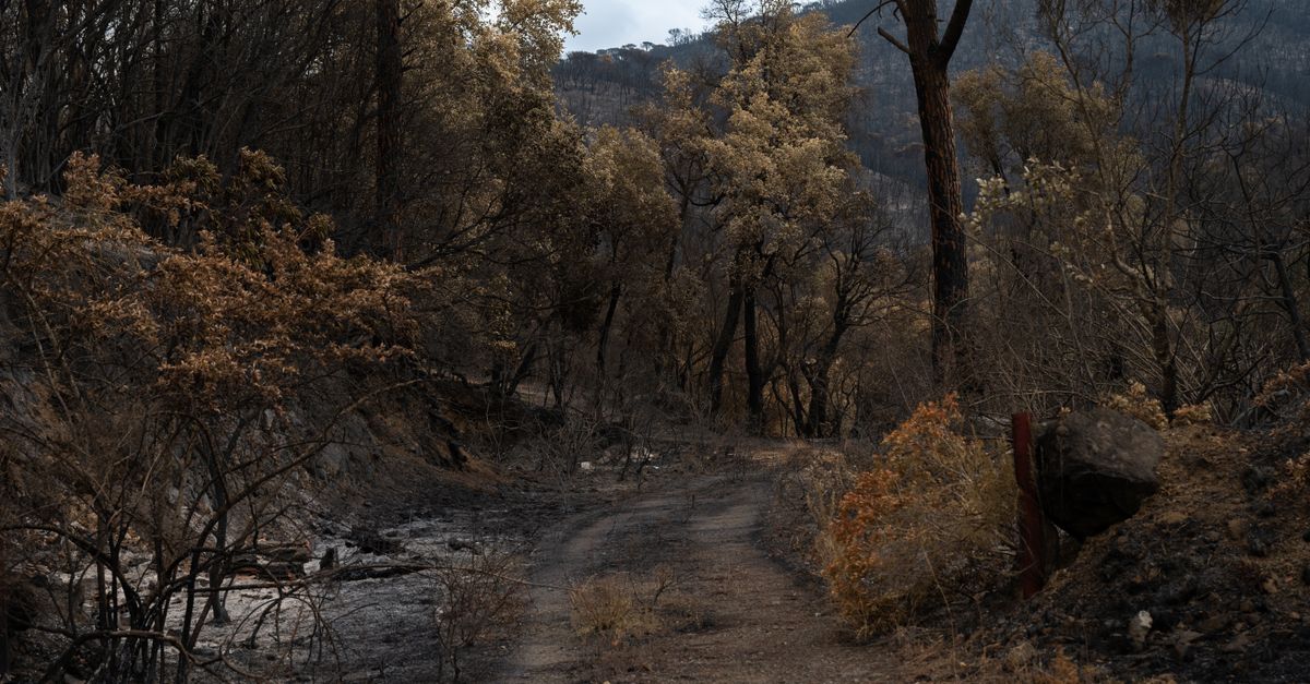
A new approach to wildfire management is emerging through enhanced satellite data that tracks how long areas have gone without fire. This information, made available by the U.S. Department of Agriculture’s Natural Resources Conservation Service (NRCS), helps land managers make smarter conservation decisions by visually mapping fire history with bright, color-coded pixels across regions like Georgia. These advancements could be key to both restoring ecosystems harmed by woody shrub overgrowth and supporting sustainable land use.
Why this matters
The increasing frequency and intensity of wildfires in recent years have underscored the need for better tools to guide forest and land management. Long intervals without fire in certain areas allow invasive shrub species to overtake native ecosystems, affecting biodiversity and economic value. Properly managed fire regimes are essential to maintaining the health of many forested landscapes, especially in fire-adapted ecosystems. A clear, data-driven picture of when and where fires last burned can inform conservation strategies that balance ecological restoration with human safety and economic considerations.
What is happening
Through satellite imaging technology, NRCS and their partners now map fire return intervals by displaying the number of years since an area last experienced fire. In examples like Georgia, these maps show clusters of colored pixels, each representing a different length of fire absence. This visualization reveals zones where scrubby, woody plants have proliferated unchecked, threatening both the ecological integrity of forests and the economic activities dependent on them, such as timber production and recreation.
NRCS pairs this fire history data with comprehensive conservation technical assistance, offering farmers, ranchers, and forestland owners science-based resources to develop tailored conservation plans. These plans address natural resource concerns including soil health, water quality, wildlife habitat, and invasive species control. The ability to target fire-deprived areas can improve restoration outcomes significantly.
Additionally, the NRCS provides various programmatic supports, such as Environmental Quality Incentives Program (EQIP) and Conservation Innovation Grants, helping landowners finance and innovate conservation practices. These efforts contribute to better managed forests that are more resilient against wildfire risks and ecological degradation.
What readers can take away
- Satellite data tracking fire history can reveal critical patterns of ecosystem change that might otherwise go unnoticed.
- Long fire exclusion often leads to the spread of woody shrubs, which outcompete native species and alter forest structure.
- NRCS conservation programs integrate this fire data with hands-on assistance to help landowners actively manage and restore natural resources.
- Accessible tools and funding from NRCS programs empower private landowners and public agencies to implement conservation strategies informed by precise fire interval mapping.
- Understanding fire return intervals is vital for maintaining ecosystem health, preventing destructive wildfires, and supporting sustainable economic uses of land.
What to watch next
Upcoming conservation funding cycles and program deadlines, such as those under the EQIP and Conservation Innovation Grants, may incorporate expanded use of fire interval data to prioritize applications. States may also refine their conservation plans and technical guidelines through their NRCS State Technical Committees to better address fire-related land management concerns. Continued advancements in satellite imaging and data analytics are likely to further enhance decision-making tools in the near future.
FAQ
How does fire interval data improve conservation efforts?
Fire interval data shows how many years have passed since a fire last affected a given area. This helps land managers identify where fire suppression has allowed invasive species to grow and where controlled burns or other interventions could restore ecological balance.
Who benefits from the NRCS conservation programs?
Farmers, ranchers, forestland owners, and other land managers benefit from NRCS programs by receiving technical guidance, planning assistance, and financial support to conserve soil, water, plants, and wildlife, as well as manage invasive species and adapt to natural disasters.
Why is monitoring fire history important for economic reasons?
Unchecked shrub overgrowth and unhealthy forests can reduce timber yields, recreation opportunities, and increase wildfire risks that threaten lives and property. Managing fire effectively can sustain these economic activities and reduce costly wildfire damages.
Original source: read more here.
- 𝕏 Twitter: @0_Simone_0
- 🎥 YouTube: Audiobook Free – Author Ciro Irmici
- 📸 Instagram: @spartaco_94_
- 💻 Tech Trends: techtrendspins.blogspot.com
- 💪 Fitness Home Journal: fitnesshomejournal.blogspot.com
- 🐾 Pet Care Inspo: petcareinspo.blogspot.com
- 🌍 Nomad Vibes Board: nomadvibesboard.blogspot.com
- 💰 Crypto Radar Board: cryptoradarboard.blogspot.com
- 🌱 Green Planet Pins: greenplanetpins.blogspot.com
- 🥗 Healthy Eats Board: healthyeatsboard.blogspot.com
Enjoyed this post? Share it or explore more across my blogs and channels.